


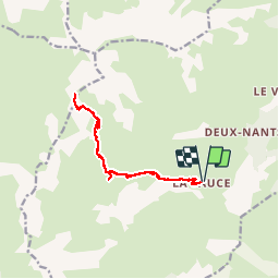


8.2 km | 13.3 km-effort

User


FREE GPS app for hiking
 SityTrail
IGN / Geographical institutes
SityTrail World
The world is yours!
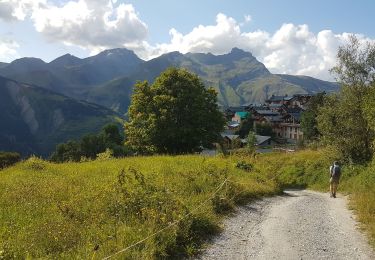
Trail Walking of 13 km to be discovered at Auvergne-Rhône-Alpes, Savoy, Les Belleville. This trail is proposed by mapetite.
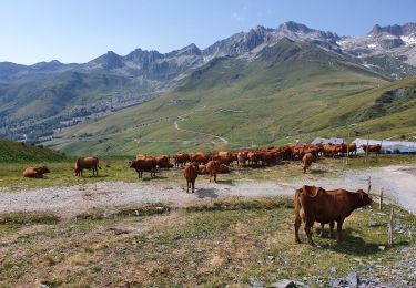
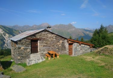
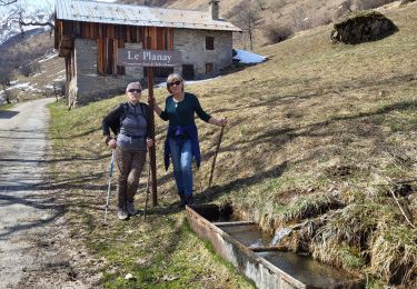
Belle Randonnée dans la vallée des Belleville (Savoie)ensoleillée,dans vallon sauvage peu fréquenté .Petit refuge non loin du départ de la Sauce
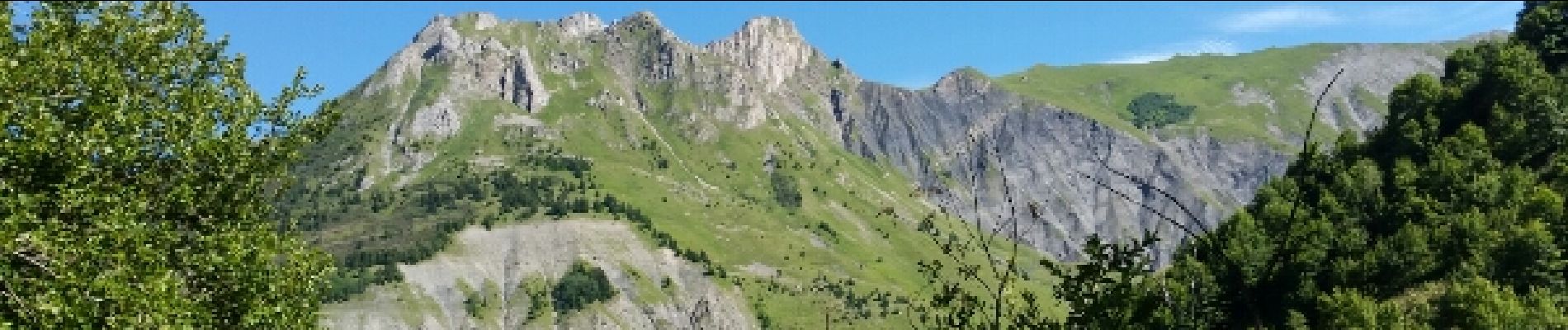
montez aux 2 lacs et avec encore un peu de courage continuer jusqu'au Col du Cheval noir il est très proche 15 à 20' ;il serait dommage de ne pas y aller .Magnifique vue de tous côtés (Versant col de la Madeleine ..)


22 photos in total. Please click on a photo to see them all in the gallery.

Walking
Walking
Walking
Walking
Walking

Walking
Walking
Walking
Walking